Tussey Mountainback 100M Ultramarathon
Course Description
The Tussey Mountainback 100 Mile Ultramarathon features a scenic and challenging multi-loop course that takes runners through the picturesque landscapes of Rothrock State Forest in Central Pennsylvania. The course offers a mix of gravel roads, forest service roads, and rolling hills, providing a true test of endurance and resilience.
The100 mile course is new for 2025. The first 50 of the 100 miles will be four loops of a 20 km course and then the full 50 mile course. See the 20 km map and leg information below. From the start, racers will run the 20 km course clockwise and return to the start line. There will be an overnight aid station at the start line (number 12).
See the leg descriptions on the 50 Mile page of this site for the distances and elevation profiles for the second 50 miles.
-
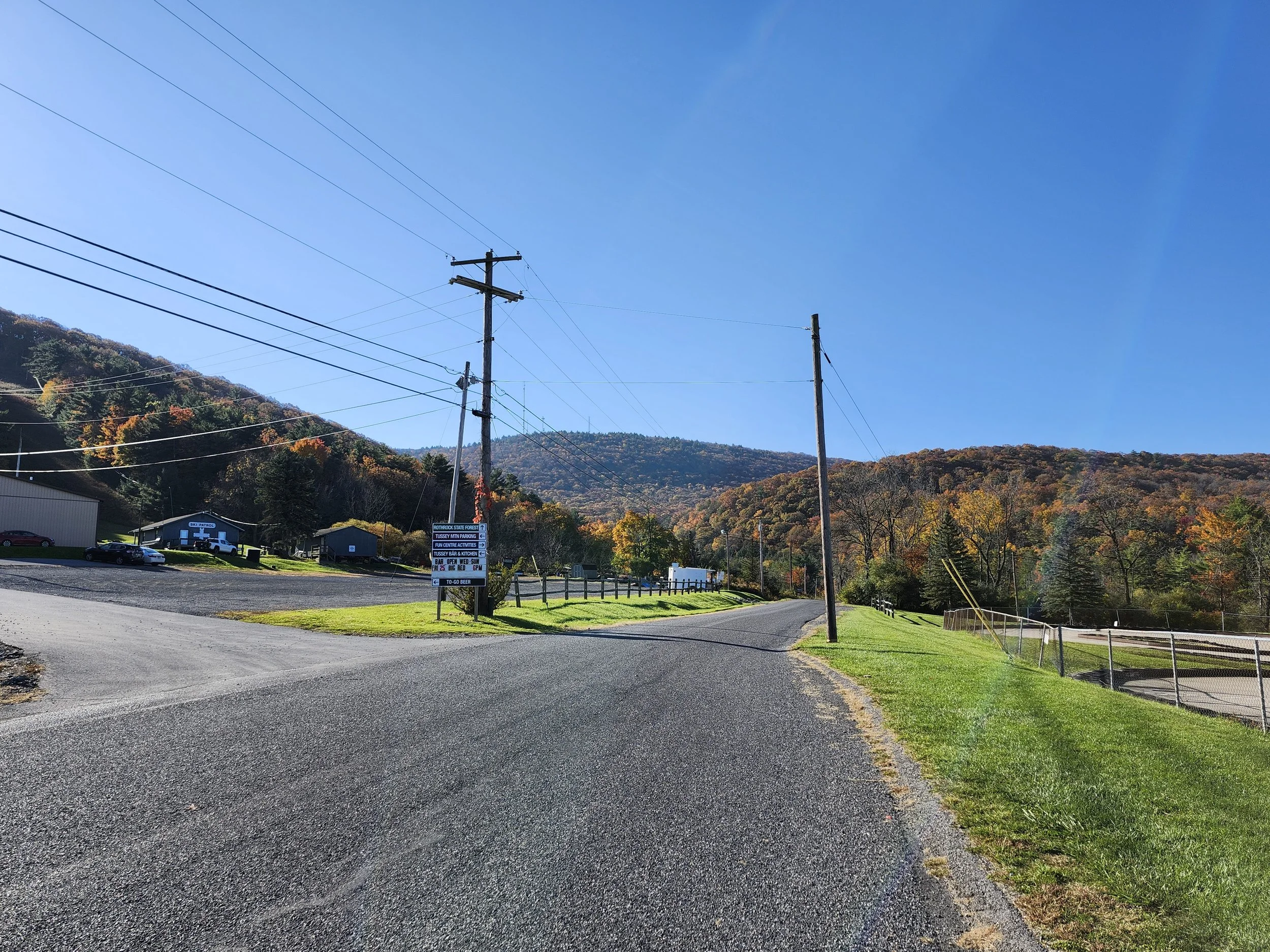
The race begins and ends at the Tussey Mountain Ski Area, offering ample parking and facilities for participants and spectators.
-
It takes a lot of effort to run 100 miles but it also takes a lot of work to manage a race of that distance and complexity. Accordingly, it is simply not feasible to conduct the 100 mile race with less than 10 registered runners. If, at the close of registration, there are less than 10 runners registered, those who did register will be given the opportunity to either withdraw outright or run the 50 mile course. Those who withdraw will be given a full refund; those who run the 50 miler will be given a refund of the difference in cost.
The race staff will notify runners the day after registration closes to get their decisions.
-
The 2025 race is not a USATF championship. The course is different from that of 2024.
The reason for this is to keep the runners closer to the start line area overnight. The State Forest is a vast area with pockets lacking radio communications. In the interest of ending with all the runners that start the race, we have made this adjustment. This will lengthen the 100m mile course by roughly 0.8 miles.
-
On the 20 km loop, there are three aid stations, plus the start line area. The first and third aid stations, weirdly known as aid station 11 and one, will have basic hydration and will not be manned. The second aid station, station 50k, will be manned and fully stocked.
During the 50 mile loop, runners will access 11 aid stations, between 4 and 6 miles apart Staff will have radios to communicate between aid stations and with the start/finish area. All aid stations are staffed.
Aid stations will be supplied with a range of food and beverages in addition to basic medical supplies. All runners have access to the aid station provisions.
-
Runners have the option to leave provisions and drop bags at the start line area and at aid station 50k. Additionally, aid stations 1, 3, 5, 7, 9, 10, and 11 of the daytime loop will accept drop bags. Be sure to label your drop bags clearly with your name and the aid station number. Drop bag bins will be available for placement of drop bags at packet pickup on Saturday, 2:00pm – 5:00 pm at Tussey Mountain Ski Lodge. Be sure to check the label of the bin for the aid station number.
-
Pacer information must be provided to race officials at the time of packet pickup. Runners may use a pacer only after completing the first 50-mile section.
-
Runners have until 10:30 pm (28 hours) to complete the race. Cutoff times are as follows: Runners must arrive at Aid Station #6 on the second (daytime) loop by 2:15 pm Sunday, at Aid Station #8 by 4:30 pm, and at Aid Station #10 by 6:00 pm. Runners not reaching these aid stations by the cutoff will be provided transportation to the finish area as needed.
-
Runners who for any reason cannot complete the race must report to a race official at the time of stopping. Runners may not leave the course without first checking in with a race official.
-
The 20 km loop has a section that is not open to vehicles except in emergencies. Driving between the ends of that section is nearly 10 miles. Runner support vehicles should not plan on access to the full 20 km loop. See the map for more information.
Runners may arrange to have their own support crew and vehicle on the 50 mile course. The course is accessible for vehicles. Runners must arrange with race officials in advance to use this option. Vehicle information (driver information, vehicle plate/state) must be provided prior to race day. Placards with the runner’s name will be provided at check-in/packet pickup. These must be displayed in the front and rear windows of the support vehicle during the race.
-
Medical support professionals will be on the course during the nighttime loop to monitor runners and provide support as needed.
race Overview
20.44 Km map

(Click map to enlarge)
20.44 km loop description
The 20.44 kilometer loop begins and ends at the same start line as the other races. On each lap, you will enjoy 400 meters of climbing and descending as you go around the mountain. There are 3 aid stations on the course, about every 5 kilometers and one at the start line.
See the leg descriptions on the 50 Mile page of this site for the distances and elevation profiles for the second 50 miles.
leg 1
Start to North Meadows Road
leg 1 length: 5.86 km
Running Total 5.86 km
Difficulty: Moderate
Topography:
The 20k begins with a 5.9 km run up Bear Meadows Road, which is paved for the majority of its length. Be mindful of traffic and critters. At the gated intersection with North Meadows Road, runners will find their initial aid station. This station, number eleven, is the same one used by the 50 mile and 50 kilometer runners. At this station, runners will turn right onto North Meadows road.
Steady 160 m climb
leg 2
north meadows rd to aid station 12
Leg 2 length: 4.94 km
Running Total 10.8 km
Difficulty: moderate
Topography:
Leg 2 begins at the North Meadows aid station. Enter the gate to North Meadows Road and continue until it meets Gettis Ridge Road at the top. Turn to the right and follow the road through the gate onto Bear Gap Road. The aid station is at the gate. Note that North Meadows Road is closed to all traffic. It is almost a 10 mile drive between the ends of the road, but only a 3 mile run.
Steady 170 m climb
leg 3
Aid Station 12 to Aid Station One
Leg 3 length: 4.4 km
Running Total 15.2 km
Difficulty: moderate
Topography:
Leaving Aid Station 12, turn right and start along Bear Gap Road. You might enjoy the steep descent, or your quads might complain a wee bit. In any event, turn right at the bottom and join Laurel Run Road. Fear not, you are nearly at aid station number one.
Steep descent (150 m) and a climb (70 m)
leg 4
Aid Station One to finish
Leg 4 length: 5.3 km
Running Total 20.5 km
Difficulty: easy
Topography:
This is your last leg of the loop. From the top of the hill at the aid station, simply follow Laurel Run Road downhill on the well trodden track. Just after the bridge, turn left onto paved Bear Meadows Road and follow it back to the start line.
Steady descent for 200 m
50m map

(Click map to enlarge)
50m loop description
There are 12 legs in the 50M loop. See all 12 leg descriptions on the 50 Mile page of this site to view the distances and elevation profiles for the second 50 miles.